Scooting around the Tinderrys.

User avatar
WarrenH
Posts: 664
Joined: Fri May 28, 2010 3:58 am

Scooting around the Tinderrys.

Postby WarrenH » Wed Feb 15, 2012 12:40 pm

The Tinderrys are a spectacular mountain range of the Great Dividing Range to the South of Queanbeyan, NSW.

Image


The highest and most spectacular section of the Tinderry Range forms the backbone of the Southern Tablelands Nature Reserves, of Cuumbeun, Hickory Hill, Googong Forshores, Burra Creek, Yanununbeyan and Tinderry. To the west of the Tinderrys are the Northern Australian Alps, and to the SE are the national parks of Yanununbeyan and Tallaganda and the Tallaganda State Forests eventually becoming the wilderness regions of Deua, Wadbilliga and Brogo. The explorer Dr John Lhotsky claimed that his journey in 1834 south from the Limestone Plains toward Michelago represented a descent into what he considered barbarism: "No church south of Sutton Forest, no window pane south of the Limestone Plains, no white woman south of Michelago" ... well, not much has changed since then you'll find, when you take on the Tinderrys.

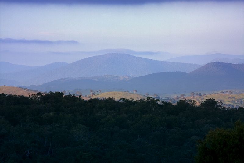
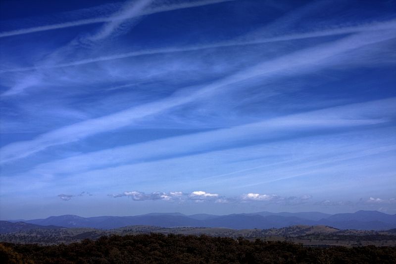
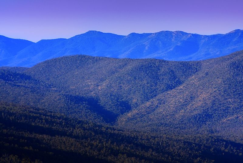
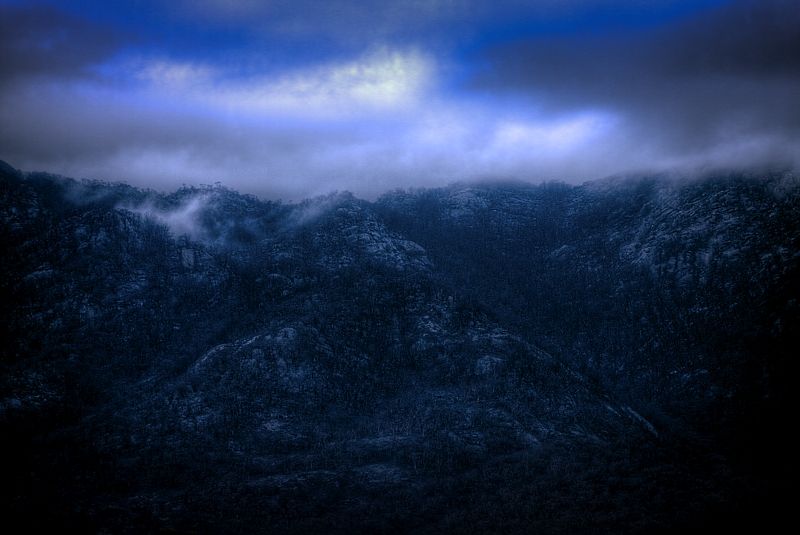
Looking across the ranges to Mount Clear and the Southern Tinderry Range to the Deua, Wadbilliga and Brogo Wilderness Regions near the horizon.

Image


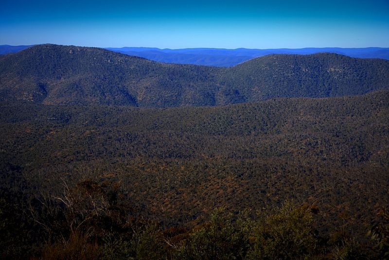
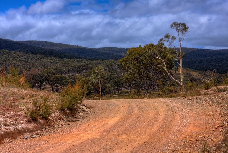
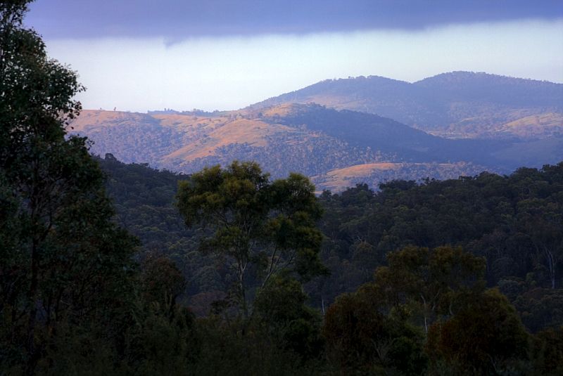
The range, characterised by huge granite monoliths and dominated by Tinderry Peak (1619m) and Tinderry Twin Peak (1560m), rises abruptly from cleared and undulating hills east of Michelago.

Image


From the highest point of Tinderry Peak it drops gradually eastward to remote sections of the Queanbeyan River, which forms the eastern boundary of the Tinderry Nature Reserve.
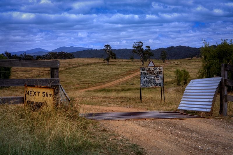
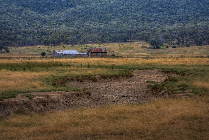
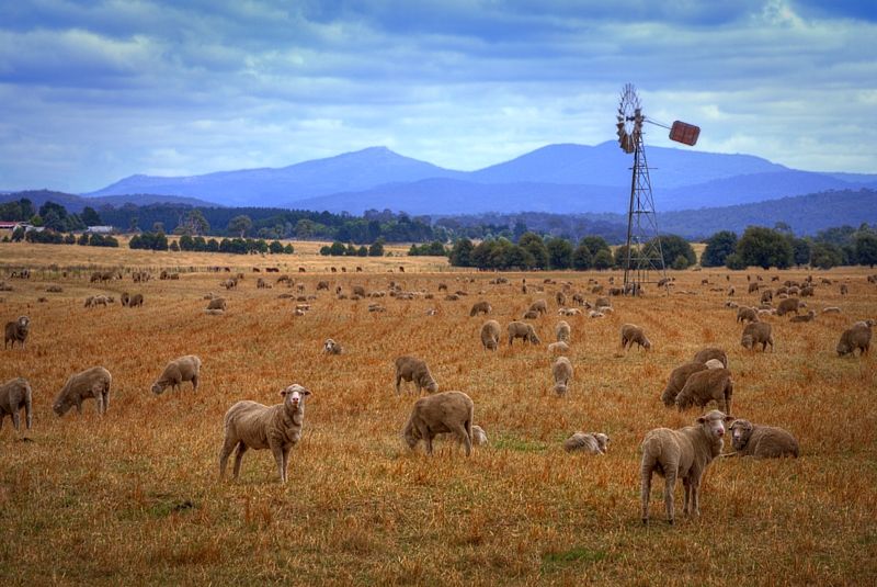
Tinderry Peak and on the right Tinderry Twin Peak. Mountains, mill and mutton, east of the ranges at Captains Flat and Woolcarra Road.

Image


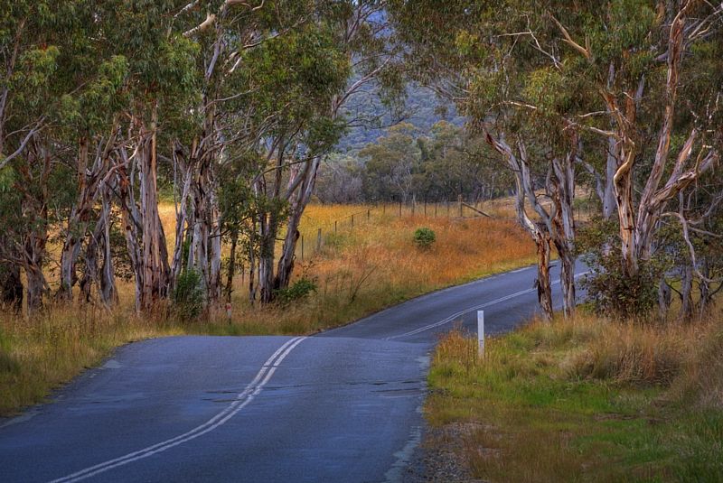
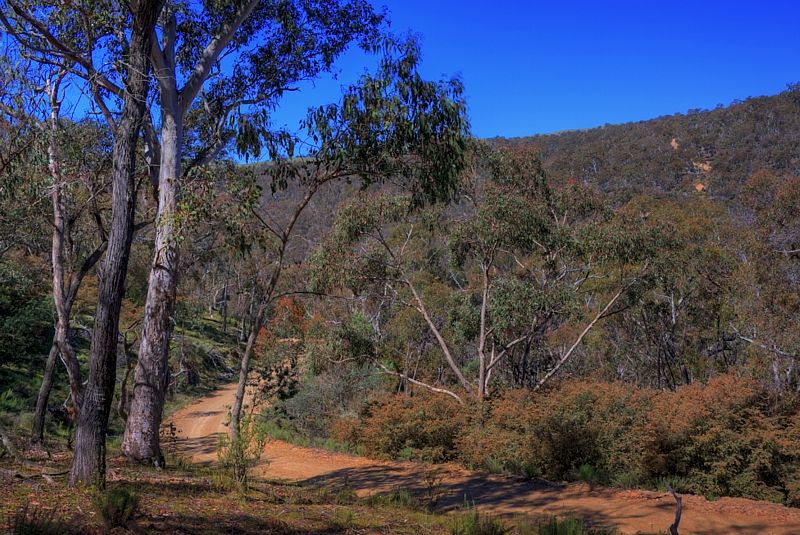
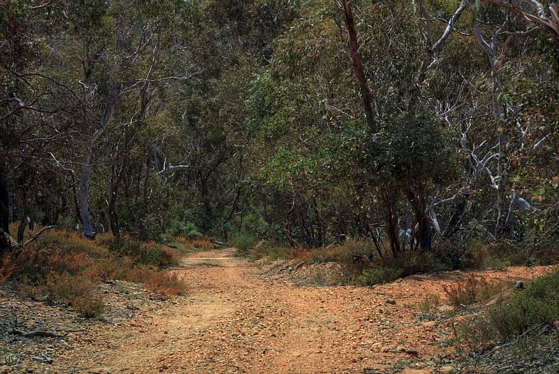
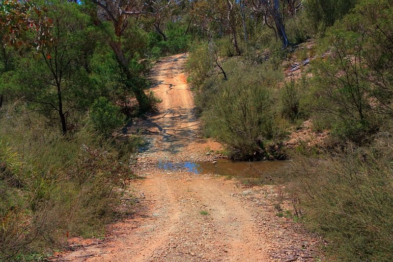
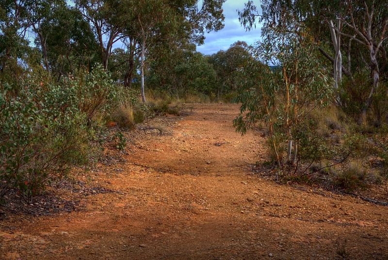
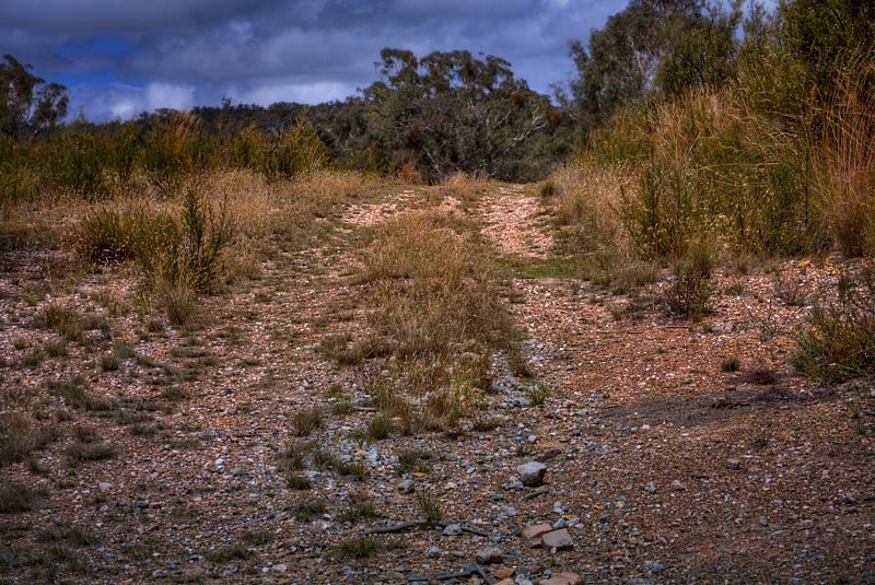
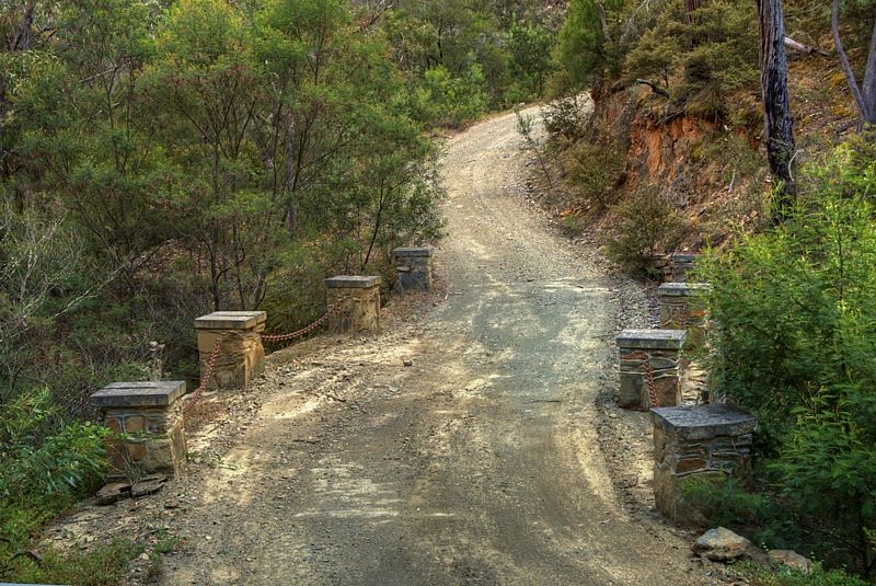
A gravel road crosses the Tinderrys from Michelago, leading ultimately to the 1950s silver mining settlement of Captains Flat.

Image


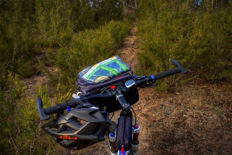
... but I chose more obscure routes, on farm roads and locked firetrails and what ever I could find when the trails ran out. The weather was fantastic, I only had one night of rain and one day of rain and there was plenty of water in the creeks and farm dams. Being Wild Dog, feral dog and sheep country, I processed the water thoroughly ... this is Hydatids Country with copious lashings of Liver Fluke.

I left Queanbeyan on the Old Sydney Road, an atrocious old coach road that once headed to the rail head at Bungendore and Taralga ... and beyond. This was my second time on Old Sydney Road and third trip into the Tinderrys. Last time I swore there would not ever be a third time ... but I forgot. Possibly a sign of Oldtimer's Disease.

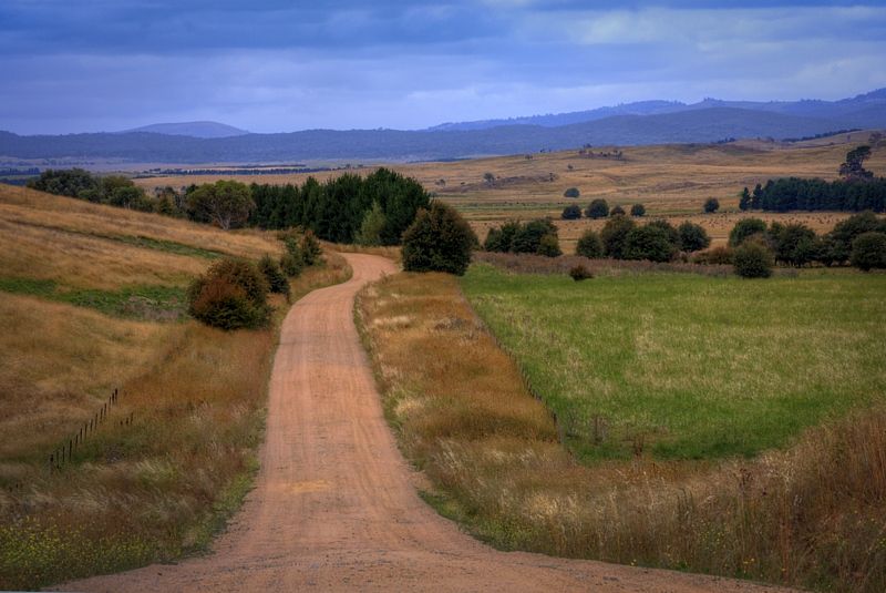
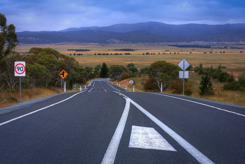
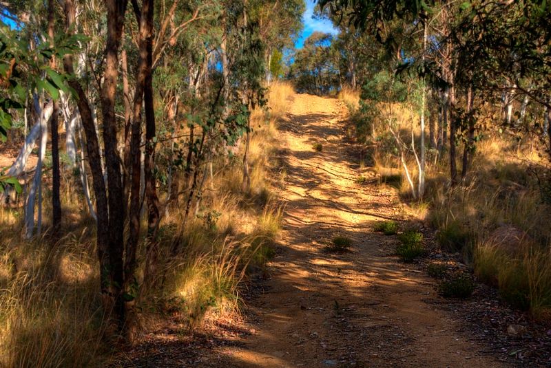
Sit back and enjoy the trails, South to the Tinderrys and across to Captains Flat. I returned to Queanbeyan on the hard top.

Image


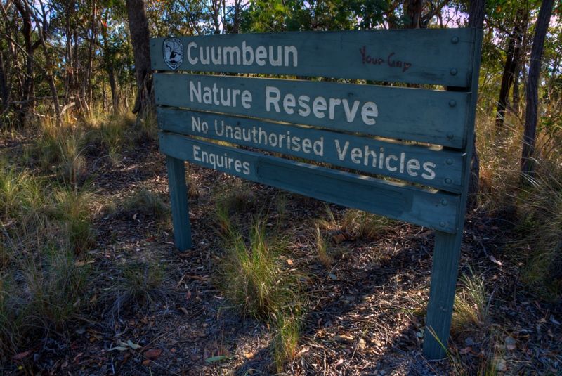
I was soon told Your Gay Really! Am I? ... I notice National Parks have painted out their contact number ... probably too many queries.

Image


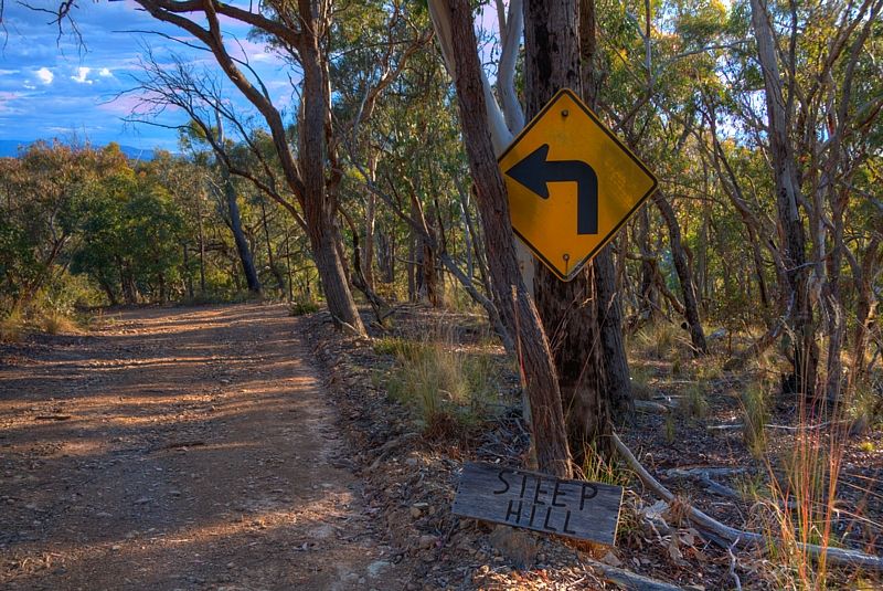
It all got a bit better ... but it needed to. The tracks improved and I was now getting over my previous shock of being told. By this time I'd stopped looking back over my shoulder.

Image

Image

Image

Image

On one of the tracks, alongside Valley Creek, I found a rareish type plant, one of the Buckthorns. Possibly the Wooly Pomaderris.

Image

Image

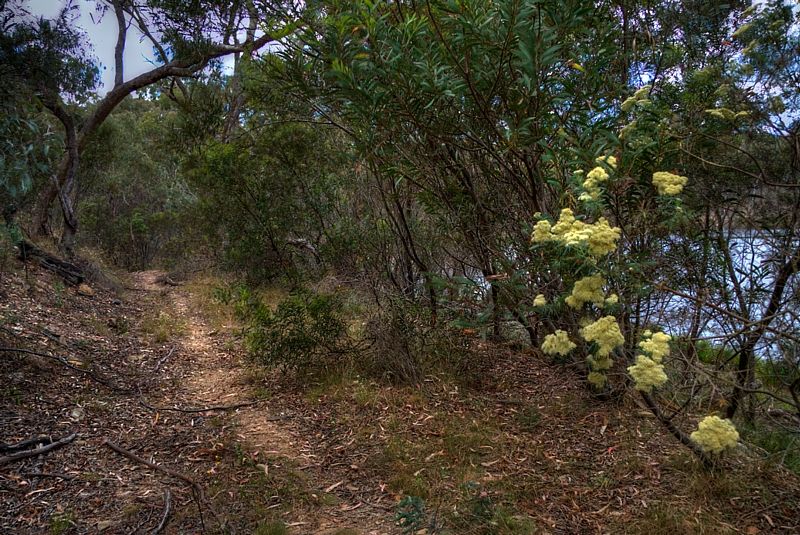
The Chyrsocephalum semipapposum were delightful. Yellow Buttons.

Image

Image

Image

Image


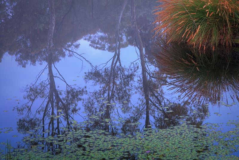
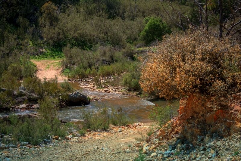
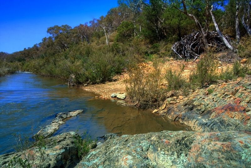
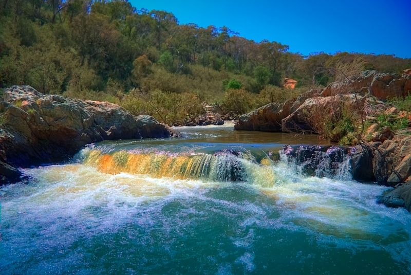
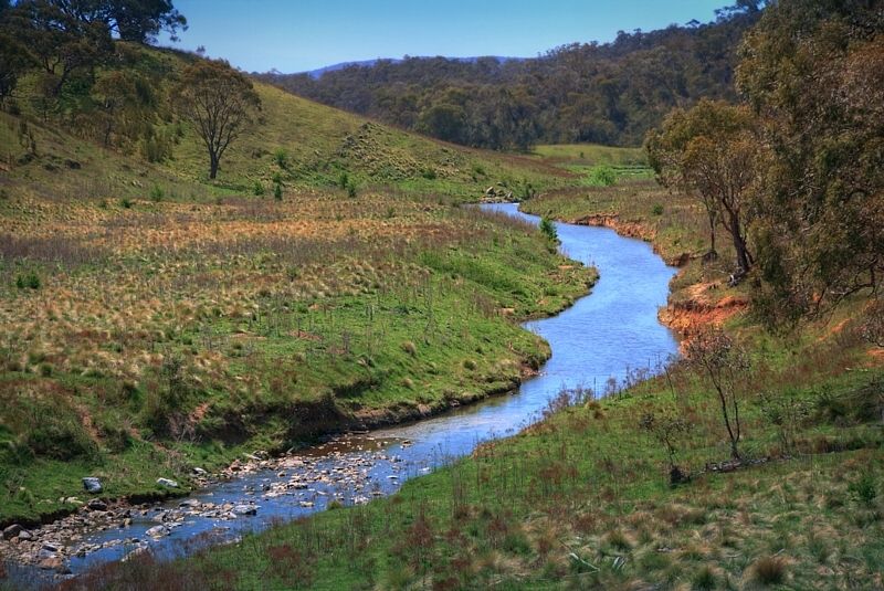
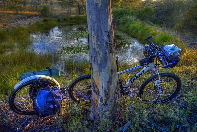
The Queanbeyan River, Valley, Bradleys, Tinderry and Urialla Creeks all had good water. When I was out of the nature reserves, I put 2 lift nets into one of the farm holes overnight to catch some yabbies, and in the morning the nets were ripped in several places, each. Possibly ripped by an Eastern Spiny Crayfish, one of the big crays. I don't think it was by a native water rat because I was using lift nets. I was too tired to stay awake and watch the nets.

Image

Image


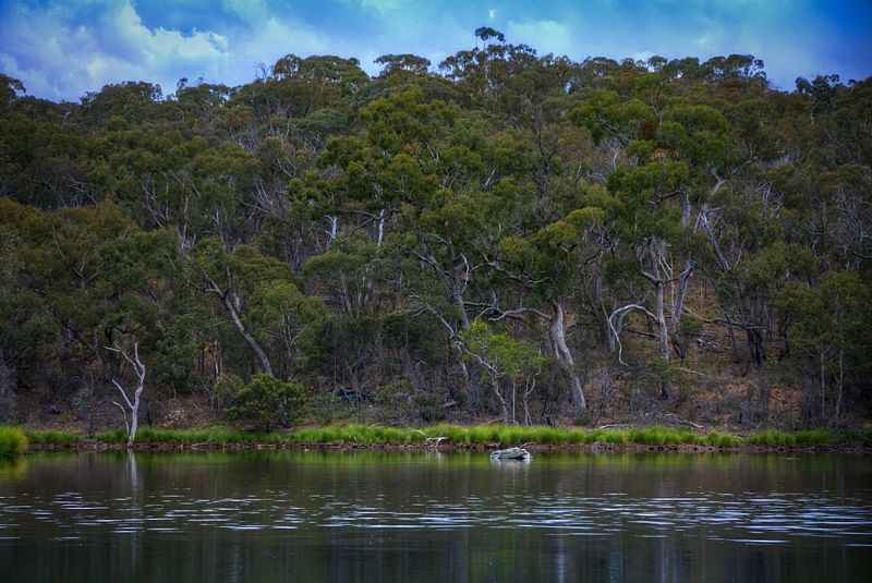
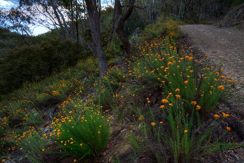
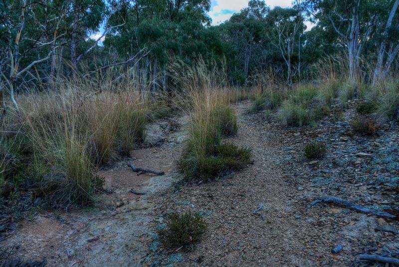
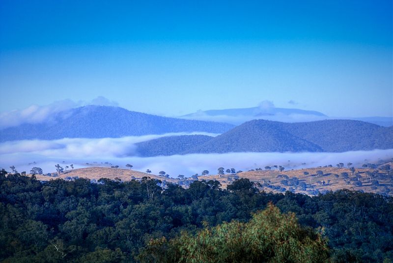
The forests were very healthy because of the fantastic rain that the region has had, over the past two years. It was hard seeing through the trees, until up on top of the ridges.

Image

Image

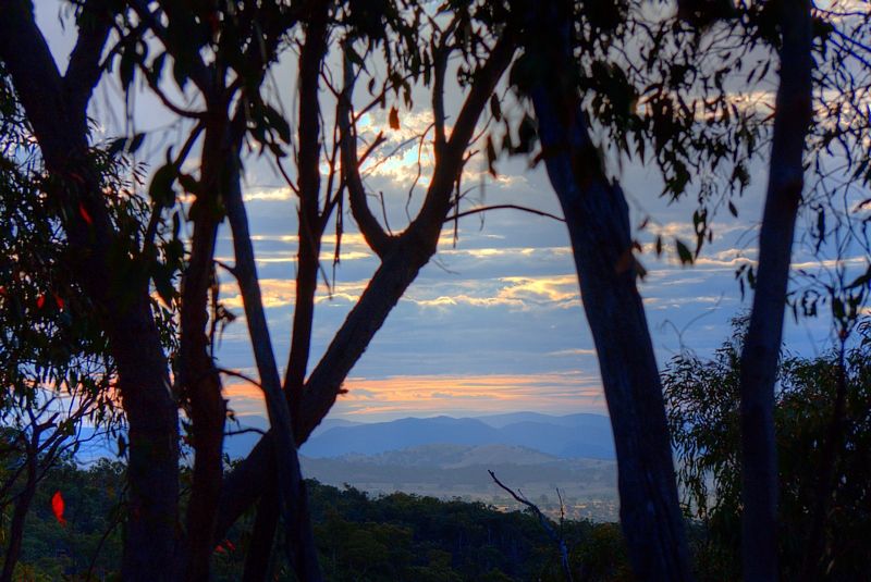
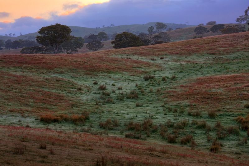
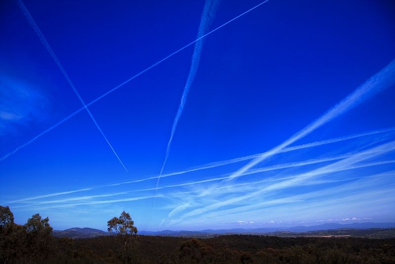
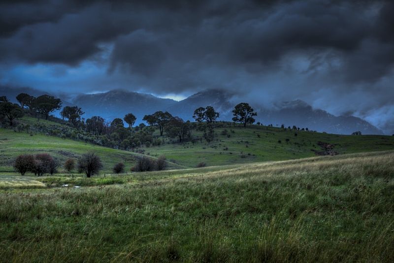
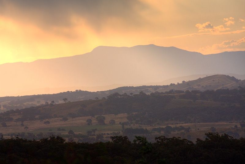
The mornings were glorious. Looking across to the heavily forested (traditional) Brindabella Wilderness.

Image

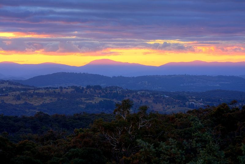
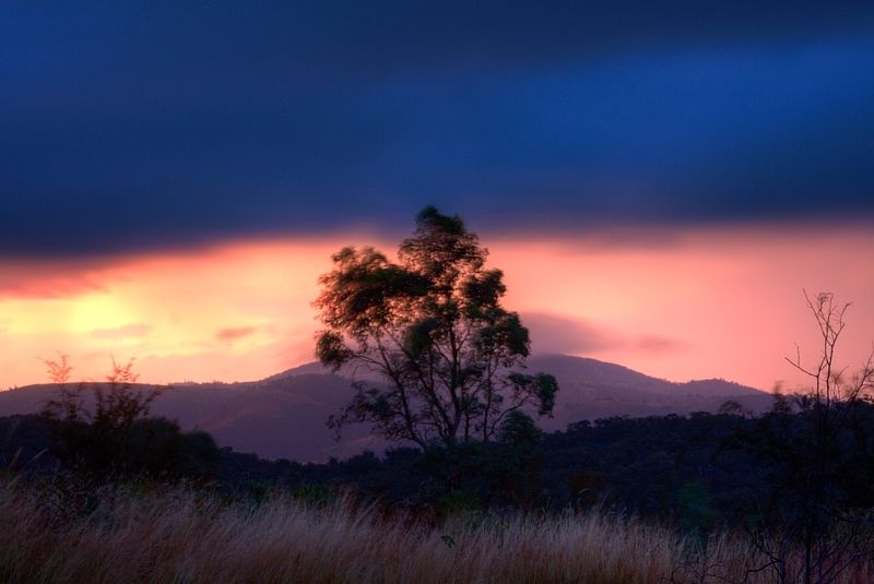
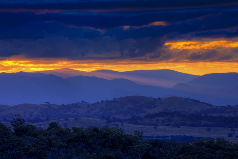
... and for the Ist time in the past two years of touring (5 tours) I saw a sunset. I saw several sunsets. Have I mentioned that it has been raining a lot over the past two years?

Image

Image

A few more images coming.

Warren.

PS, the 1st, 2nd, 3rd and 5th photos are from a previous trip ... http://www.crazyguyonabike.com/doc/?o=1 ... =8470&v=jV
Last edited by WarrenH on Wed Feb 15, 2012 6:01 pm, edited 9 times in total.
"But on steep descending...Larson TT have bad effect on the mind of a rider" - MadRider from Suji, Korea 2001.

"Paved roads ... another fine example of wasteful government spending." - a bumper sticker.

User avatar
DaveOZ
Posts: 1492
Joined: Sun Aug 08, 2010 10:15 am
Location: Bowral NSW
Contact:

Re: Scooting around the Tinderrys.

Postby DaveOZ » Wed Feb 15, 2012 1:27 pm

Wow. Thanks for posting these Warren.

User avatar
WarrenH
Posts: 664
Joined: Fri May 28, 2010 3:58 am

Re: Scooting around the Tinderrys.

Postby WarrenH » Wed Feb 15, 2012 2:58 pm

David, thank you.

Reaching the road at Silver Springs north of Tinderry Crossing, was good because at this stage I was showing signs of developing a phobia towards locked gates.

The roads were getting better and better. Yanununbeyan National Park was the bees knees. Heading north from Tinderry Crossing.

Image


The topos that I used were 1:25,000 Hoskinstown 8727-S, Captains Flat 8726-1N and Tinderry 8726-1S. They sure do help when signs like this are reached ... knowing what is still a public road.

Image


Facing the Turillo Range almost at the turnoff to Rutledge's Sugarloaf.

Image


A Blakely's Red Gum.

Image


I made it to Captains Flat at midday on a Monday and I felt like a greasy burger with the lot, but no eatery was open. At the servo in their takeaway the cook said, "We don't do food on Monday." If I had have arrived in Captains Flat the day before (Sunday) every boutique restaurant and coffee shop in town would have been open ... I had plenty of food still, but I needed a greasy burger. They wouldn't even heat-up a lousy Chicko Roll into being an inedible concrete tube (like most places do) in their microwave at the servo. They looked a bit peeved when I left with nothing. Obviously they don't like sweaty dusty strangers blowing into their ghost town on Mondays ... and I often call Queanbeyan 'Struggle Town'. Or I did.

I enjoyed the road back to Queanbeyan. It was narrow and with no shoulder and blind rises and sheep and cattle let loose and all the way there was this delightful decommissioned railway line beside the road that hasn't been used for yonks. The potential for a railtrail through the Molonglo River catchment is awesome.

Where the decommissioned railway crosses the Captains Flat Road.

Image


Rustic sheds beside one of the tributaries of the Molonglo River, below Mount Carwoola.

Image


Sign posted civilisationm with a good shoulder, looking east to Forbes Creek Ridge ... not too far from Queanbeyan.

Image


At last Queanbeyan and Mount Corree (Northern ACT Border) ... descending on Old Sydney Road. I diverted into Wanna Wanna Road 500m and then rejoined Old Sydney Road in Cuumbean Nature Reserve. I had a good feed of plums on Old Sydney Road, ... far nicer than the greasy burger that I didn't have. I know that the botanist Baron Von Meuller planted Rasberries and Blackberries as he went about, exploring the high country, I wonder if the plums were from a seed thrown by a traveller from a coach. Not plums that I recognized but they sure were tasty.

Image


Warren.
"But on steep descending...Larson TT have bad effect on the mind of a rider" - MadRider from Suji, Korea 2001.

"Paved roads ... another fine example of wasteful government spending." - a bumper sticker.

User avatar
martinjs
Posts: 3402
Joined: Mon Jan 14, 2008 8:54 pm
Location: Fivebough, Leeton
Contact:

Re: Scooting around the Tinderrys.

Postby martinjs » Fri Feb 17, 2012 12:48 am

Well them there are really country pics, thanks for posting. Love seeming other areas that I can't get to through others eyes. :D

Martin
Never underestimate the power of human stupidity!

User avatar
WarrenH
Posts: 664
Joined: Fri May 28, 2010 3:58 am

Re: Scooting around the Tinderrys.

Postby WarrenH » Tue Oct 30, 2012 12:12 pm

When I did the Queanbeyan River Fire Trail and through Gelegnite Crossing on the Tinderry trip, I lost one of the camera disks, never to be found. As Rifraf says, "Shots or it didn't happen?" To which I fully subscribe. The Queanbeyan River Fire Trail is to the East of Googong Dam in NSW.

I went back this past week and re-shot the missing link of the Queanbeyan River Fire Trail, over a couple of days. The weather was stunning but with cloudless skies, the nights were freezing. The air was particularly still, except for my raspy deep breathing.

The cold air from the Taleisin Hills(1100m), Yarrow Peak(1080) and Mount Molonglo(1140m) sumps to around Mount Gorman(890m) and Hickory Hill(880m), it then trails down the steep gullies to Googong.

A peppermint green frost hollow at sunrise.

Image


Light mist, still water ... Valley Creek.

Image


Early morning. Looking towards Mount Tennent and the Bimberi Wilderness from Hickory Hill.

Image


Mount Molonglo.

Image


The next two shots at midday and then a few hours later, describe the still air well . While jets flew from, Sydney to Melbourne, Melbourne to Sydney, Canberra to Melbourne and Melbourne to Canberra.

Image

Image


The Queanbeyan River Fire Trail is lumpy. It is popular with endurance mountain bikers or those taking very long walks ... Yanks call it hike-a-bike. A very apt term I find.

Image

Image


The several river crossings like Gelegnite and Flynn's are primo.

Image

Image


The track descending to Washpen Crossing.

Image


The Queanbeyan River and Burra Creek are both running at 30cm above their normal height.

Tannin water, Q'bne River ... and Burra Creek.

Image

Image


In several places smaller creeks cross the fire trail. The MSR water filter that I have has been a good purchase.

Image


Warren.
"But on steep descending...Larson TT have bad effect on the mind of a rider" - MadRider from Suji, Korea 2001.

"Paved roads ... another fine example of wasteful government spending." - a bumper sticker.

Who is online

Users browsing this forum: No registered users