Comedian wrote: ↑Tue Aug 15, 2023 2:20 pm
……
The problem is the state government runs the trail and knows everyone loves it. So to show their love of everyone loving it they are "gold plating" it which is the easy option.
What they should be doing instead is using those funds to push more rail trails into being in more communities - and ideally link them up. This is a boon for other regions but unfortunately when there is no rail trail people don't see the benefits so it's hard. No one wants it until it's built.
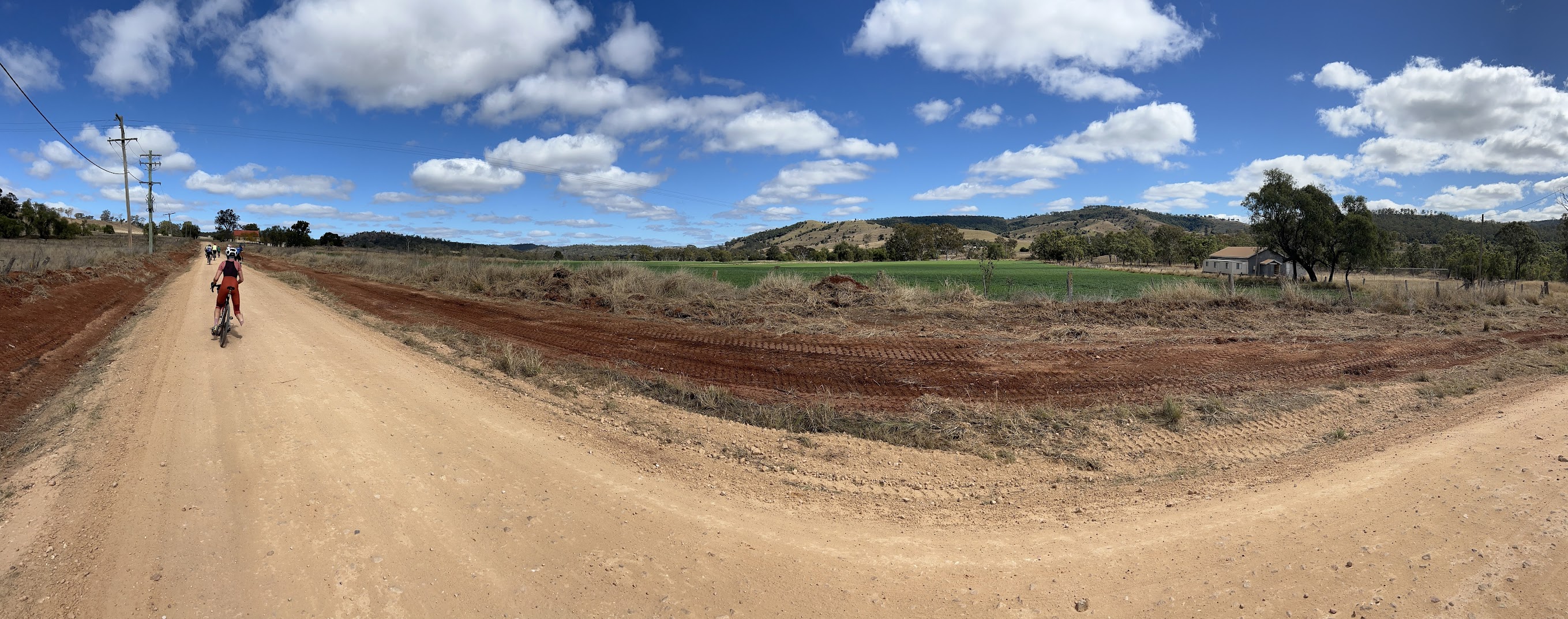
I've been riding the rail trail for several years.. and honestly the only thing that's really made it better since then is removing the gates which was a PITA. In general I don't think the surface improvements have really helped. It's meant you can now easily use gravel bikes (or even road bikes) but I don't see that has ever really been a barrier as any cheap hardtail has always been ample bike for the BVRT.
I would love to see an extensive connected rail trail network for Queensland as a tourist thing.
Plenty of us would love to see a connected railtrail network in these areas !
When you think about it, it’s not that far from the southern end of the Brisbane Valley Railtrail to the northern end of the Northern Rivers Railtrail (NSW)
Probably little more than 100 km - as the crow flies!
And theoretically it isn’t a humongous effort to link them - if you take the train from Wulkuraku to Roma St and then to Varsity Lakes on the Gold Coast. From there it is possible to ride to Murwillumbah ! (some local route info would be advisable though - it’s a rabbit’s warren to do it safely)
Yes, before we get too excited let’s bear in mind that the Northern Rivers Railtrail is currently only 24 km.
But it is likely to be 130 km “eventually”
At its western end, the Richmond (NSW) Shire Council has almost completed another section which is 14 km - will be open in a few weeks.
The long road to realisation of the NRRT is worthy of a PhD.
Basically between the Tweed Shire and the Richmond Shire there are 2 other shires - Lismore City and Byron Bay Shire.
Lismore is committed to facilitating the construction of the railtrail through their area BUT Byron Bay Shire have been the holdouts - they have been opposing the creation of a railtrail for years, although that opposition looks to have weakened since the popularity of the recently completed Tweed section has been so overwhelming.
I believe that currently the Byron Shire is coming around to approving the construction of Railtrail for part of but not all of the abandoned railway corridor through their shire - specifically from the Tweed Shire boundary, through Bilinudgel and as far as Mullumbimby.
Get onto it ladies and Gentlemen, there is in fact a Change.org petition which Is trying to apply some traction to bring about a favourable attitude to the Railtrail construction in the above section of Byron Shire
I could go on, but it’s also worth noting that there is an active group in the Logan Shire / Beaudesert (Scenic Rim) Shire who are confident that one day there will be a Railtrail along the old Beaudesert railway corridor.
And also there is an active group working towards turning the abandoned Railway line from Armidale or Glen Innes, into a fabulous Railtrail that could extend all the way north to the Qld border at Wallangarra.
Now that would be something to look forward to.